
Proof Engraving
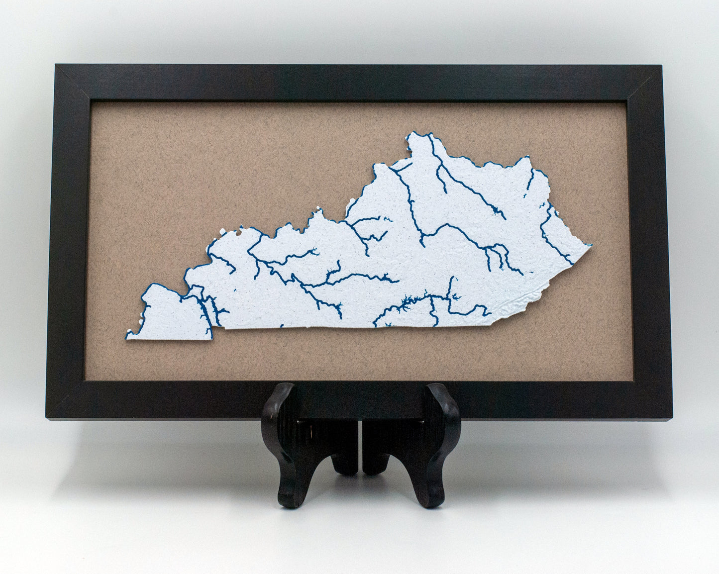
Topographic Map with Rivers
Topographic Map with Rivers
Our 3D printed topographic map with rivers makes a perfect wall decoration. Choose from any state and customize the colors to match your décor. The frame measures approximately 13in x 8in, giving your home or office an eye-catching conversation piece. An impressive addition to any space!
Stand not included.
Topographic map project uses data from NASA SRTM V3.0, USGS GMTED2010, USGS HYDRO1K based on 1996 GTOPO30, HydroLAKES, and USCB TIGER/Line. Created by ansonl.
Couldn't load pickup availability
Share
Collapsible content
Order Process
- Upload Your Design: Provide your image or logo. Vector files (SVG, AI, PDF) are preferred for optimal clarity, but we can also work with high-resolution raster images.
- Specify Your Size: Clearly indicate your desired patch dimensions. If no size is specified, we will default to either the height being 2.25 inches or the width being 4 inches. We can accommodate designs up to 3 inches in the largest dimension (width or height). For sizes exceeding 9 square inches, please contact us for a custom quote.
- Artwork Assistance: If your artwork requires significant adjustments, a nominal fee may apply.
- Color: UV printing is limited to what is possible in the CMYK range. If your artwork requires specific colors, please provide the PANTONE number.
- Clear: We are able to offer both a matte or gloss clear over all or part of your artwork. Please specify if you have a preference.
Application Guidelines
Heat Press: Set to 280°F (top) and 320°F (bottom) for 45 seconds is a good starting point.
Single Platen Press: Recommended settings are 300°F for 40-50 seconds is a good starting point.
Turnaround Time
Orders are typically processed within 2-3 business days. If you need items quicker please send us a message.
Shipping
Shipping with be USPS or UPS.